- News and Stories
SenseTime Launched SenseEarth First Artificial Intelligence Analytic Platform for Remote Sensing in China
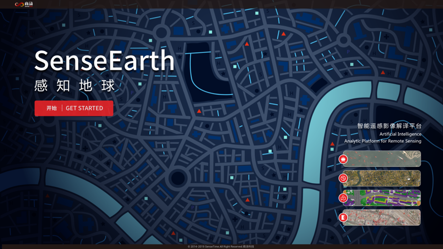
During the 8th World Geospatial Developers Conference (WGDC 2019) in Beijing, China, SenseTime launched China’s first online Artificial Intelligence Analytic Platform for Remote Sensing which utilizes AI technology to recognize and analyse satellite images, providing users with geographical and topographical information for analysis.

SenseEarth is an open-to-public tool which all users can view the remote sensing images online at rs.sensetime.com.
This high-performance, real-time and easy-to-use analytic platform is developed based on SenseRemote, SenseTime’s remote sensing intelligent platform, which empowers the platform with strong capability in data analysis and insight generation. SenseRemote is applicable to an extensive array of industries, which can be applied to areas such as resources analysis and assessment, illegal construction detection and so on.


 Return